Walburg BBS 2020-06-07
Among many other much greater disappointments and concerns caused by the COVID-19 pandemic, the USGS Breeding Bird Survey (BBS) was officially cancelled for 2020. At the time (April 10), USGS staff could not enter their offices and most of the country was shut down. But by late May the world had learned a little more about the virus, and we all had learned more about how to do things safely. I started thinking about running my BBS route anyway. This would be the fourth time running this route, which is northeast of Austin on 25 miles of back roads south of Granger Lake.
On May 30 Joanna Rabiger and I scouted the route, and on June 7 I did the survey according to protocol. (The protocol is to drive the 25 mile route and stop at 50 specific points. At each point record all the birds you see or hear for 3 minutes.) Here are some highlights from the survey, starting with this moonlit agricultural field at the first point just before 6 AM. The lights of Weir, TX are in the background. (Where? Weir!)
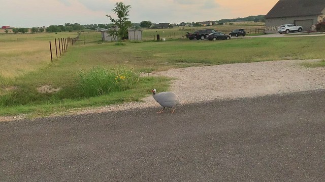
For the fourth year in a row, at point 3 a local guineafowl confronted me and expressed its disapproval. This time I captured it on video. Click to watch:
Here are some species that I don't usually see in my neighborhood in Austin, but that breed out here in the more open habitat. Most are in decline, especially Northern Bobwhite, Eastern Meadowlark, and Loggerhead Shrike. I included how many points I detected at least one:
Northern Bobwhite: 1 (at point 11)
Horned Lark: 1
Eastern Meadowlark: 3
Dickcissel: 14
Lark Sparrow: 7
Yellow-billed Cuckoo: 9
Painted Bunting: 13
Loggerhead Shrike: 2
The bobwhite, Horned Lark, and meadowlarks were heard-only during the survey. But a week earlier Joanna and I were treated to this view of a Horned Lark. Maybe it was the same one I heard on the survey!
For each point, there's a box you can check on the survey form if some kind of "excessive noise" affected your ability to hear birds. I had to check this box for point 36 because this contraption was circling above me:
A few points later I parked on the shoulder of the road in tall grass, which is often necessary during this survey. When I drove back onto the road, I heard a rubbing sound and felt resistance. When I got out of the car to inspect, I saw a partially folded tire sticking out of my right front wheel well. I briefly panicked thinking it was a catastrophic flat tire! But when I looked closer I realized that my tire was still on the rim and just fine. I had driven over an abandoned tire hidden in the tall grass, and it had rotated up into the top of the wheel well where it was crammed between the top of my tire and the fender. It was stuck in there good, but I tried slowly backing up, and the old tire came right back out the way it had gone in. I briefly thought about tossing it back in the tall grass, but I threw it into the back of my Subaru instead. I didn't know how I was going to dispose of it yet but I'd figure something out.
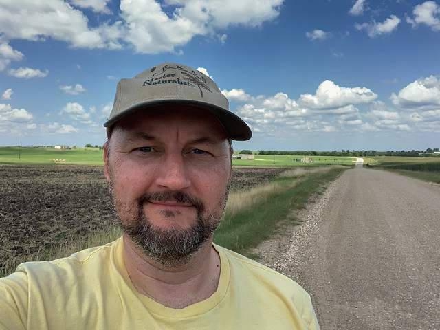
The rest of the survey was uneventful. I finished point 50 at about 11:30 and had a picnic lunch on the side of the gravel road. I took this selfie:
On my way home I stopped at a big tire store on the highway and they accepted the old tire I'd found to dispose of it properly.
I don't know if the USGS will accept my data this year, but it's here if they want it. I could also enter it into eBird if I feel ambitious enough to create 50 eBird locations. Regardless, I considered it a morning well-spent. The beautiful views, the ritual of the survey protocol, and the nature connection temporarily overcame my pandemic worry.
Attached are observations from both the scouting day and the survey day.


